
Copper Basin Breaks Record Snow Year
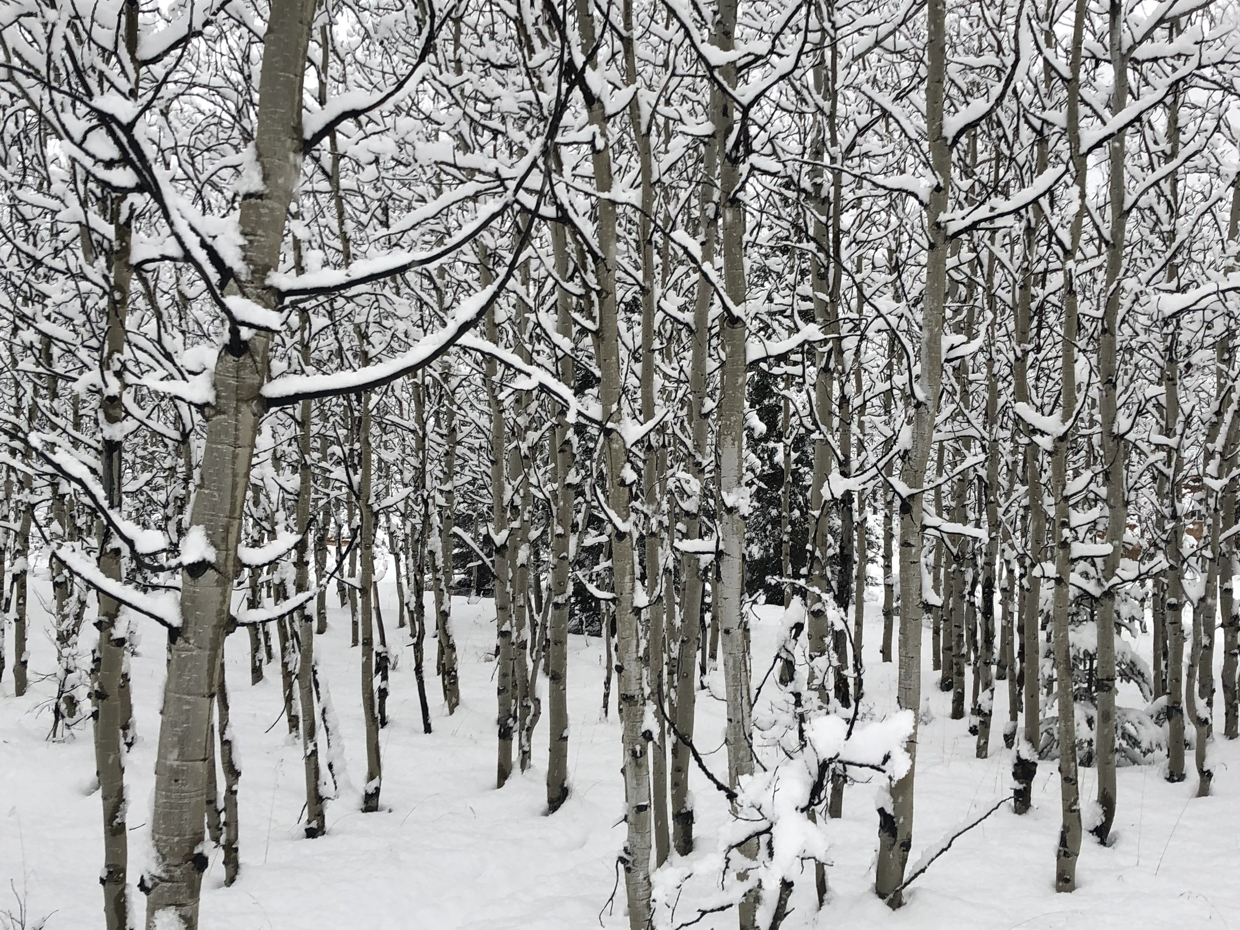
Photo by Allison Sayer
Allison Sayer - CRR Staff
On April 1, a statewide snow survey confirmed what many area residents already know: 2022 was a record-breaking snow year in the Copper Basin. According to National Park Service physical scientist Pamela Sousanes, the April 1 survey is a good indicator of peak snowpack conditions.
During the survey, measurements are taken at the same sites over several years. The snow depth is measured, in addition to the snow water equivalent (SWE). The SWE is the number of vertical inches of water that is present in the snowpack.
That number is more indicative than the snowpack depth of how much meltwater can be expected to enter local watersheds. As we all know, light fluffy snow usually melts down to nothing.
The current year’s measurements are compared with the current “normal,” which is now the median value of snow water equivalent found at the same site for the period of 1991- 2020. The Copper-Chitina confluence was a dividing line this year for patterns in how snowfall compared to normal.
Several snow observation sites south of that dividing line, which ordinarily receive high snowfall, were either average or slightly below average. For example, observations at Worthington glacier were 90% of normal.
The site still did receive an impressive 21.6 inches of SWE, which is the highest in the area. Anyone who has melted snow can imagine that almost two vertical feet of water is the equivalent of a huge amount of snow.
In contrast, Chistochina had a smaller amount of SWE, at 11.4 inches. However, that is a remarkable amount for Chistochina: 317% of normal and the highest observed in 38 years of data collection. There were still 43 inches of snow on the ground on April 1.
Haggard Creek was another exceptional site this year. It still had 56 inches of snow on the ground, compared with 35 inches at this time last year. The normal amount of snow is 28 inches. The SWE was 15.6 inches, almost three times the normal amount of 5.8 inches!
Lost Creek, off the Nabesna Road, had an SWE of 7.2 inches which is the highest on record and 230% of the current normal value. There were still 32 inches of snow on the ground when the measurement was taken, also the deepest measured since it was first surveyed in 1993. Chokosna broke its own record as well, with 7.6 inches of SWE, more than twice the normal amount.
Copper Center still had 28 inches of snow on the ground on April 1, and the SWE was 7.4 inches, compared with 4.7 inches last year. There are not enough data to provide a “normal” number for Copper Center.

Photo by Allison Sayer
Measurement stations at May Creek and Chisana record continuous measurements of the snowpack. Sousanes said in email correspondence to other park scientists, “Currently the May Creek SWE is off the charts - literally! The current SWE is 395% of the median value (with 15 years on record). We are in the melt phase, but as of today there are still 27 inches of snow on the ground at May Creek. Chisana SWE is 145% of median, similar to 2018, and third highest of the 14-year record. There are currently 19 inches of snow on the ground at Chisana.”
Streamflow predictions are made using the April snow survey data throughout the state. The only local river in the report is the Gulkana. The Gulkana streamflow is predicted to be 200% of its average this summer. It would be reasonable to predict that many streams north of the Copper-Chitina confluence will also have higher than average flows.
Local data collectors from the National Park Service (NPS) were Jan Maslen and her team: Lynn Welty and Kelsie Maslen. The NPS partners with the Natural Resource Conservation Service to perform snow surveys in Wrangell- St. Elias National Park & Preserve. Data for all 23 Copper Basin Sites, in addition to sites across the state, are available at https://www.nrcs.usda.gov/wps/portal/nrcs/ak/snow/waterproducts/basin/
The Copper Basin was not alone in having above-average snowfall. The April 1 Alaska Snow Survey authors state in the introduction:
“Below-normal snow measurements are few and far between. Snowpacks in the Tanana and Upper Yukon, as well as portions of the Susitna, Copper and Central Yukon are record breaking. It is difficult to convey the sheer amount of land in the central and eastern portions of the state and Yukon territory with record breaking snowpack. Giant, enormous, ginormous. Any way you look at it, the snowpack is above normal for almost the entirety of the state.”
The report continues, “There will not be a scarcity of snow meltwater in the rivers this year. Of the 189 Alaska stations with 10 or more years of record, 45 reported their period-of-record high SWE for April 1.
The trend of exceptional snowpack continues into the Yukon Territory, where 20 out of 36 SWE measurements were all-time records.”